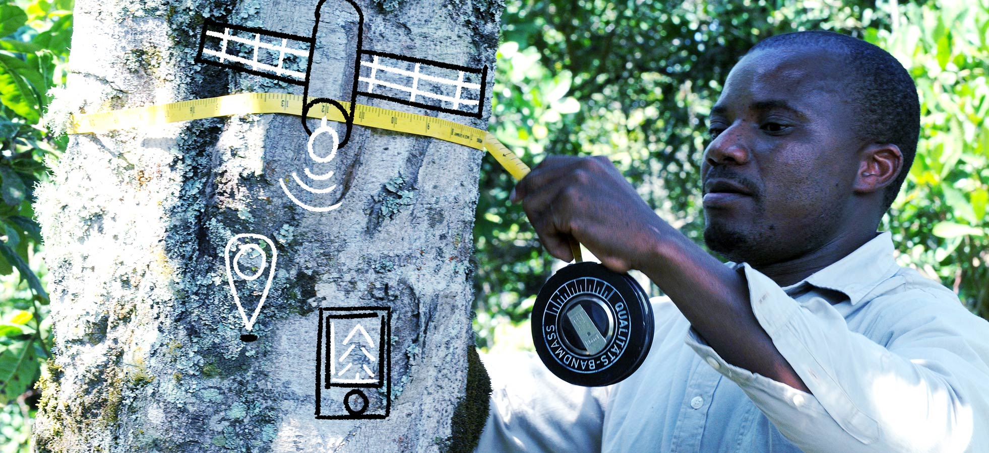
Tree species, tree diameter, location. Sending the data by mobile phone. This is how information on the location, species and tree density of Tanzanian forests is transmitted. The figures are compared with satellite images of the area. Gradually a forest resource map covering the whole country emerges. Tanzania, which is three times the size of Finland, is the first African country to carry out an extensive inventory of its forest resources in 2009–20114. Information on the size of forests, changes in their size, and species is needed for decision-making on forests and for combating deforestation and climate change.
In addition to Tanzania, Finland and the Food and Agriculture Organization of the United Nations FAO have cooperated in the mapping of forest resources in Vietnam, Zambia, Ecuador and Peru. In 2013 a software for processing forest information was developed. It contains the tools for collecting, storing and analysis of terrain data and the instruments for interpreting satellite images and remote sensing material. The software is free of charge and freely downloadable. In 2017 it was in use in more than 50 countries.
Photo: FAO/Simon Maina, graphics: Juho Hiilivirta